


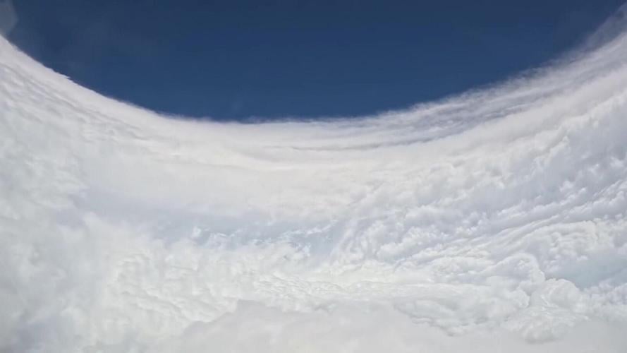




The Hurricane Hunters made a pass through the eye of Hurricane Polo this week. (LtCmdr Pierce Niemiec / NOAA Corps via SWNS)
By Dean Murray
Hurricane Hunters have captured incredible views of the eye of the storm after flying into Hurricane Polo.
The U.S. National Oceanic and Atmospheric Administration team has been gathering high-altitude data of the weather event in the last few days.

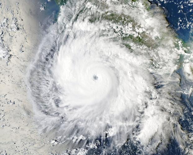
After rapidly intensifying, Hurricane Polo spins off Mexico's Pacific coast on September 23. (LtCmdr Pierce Niemiec / NOAA Corps via SWNS)
The Hurricane Hunters are specialist aircrews that fly into tropical cyclones to collect vital measurements. Data collected by the high-flying meteorological stations help forecasters make accurate predictions during a hurricane.
Polo is currently a Category 4 hurricane in the eastern Pacific, with maximum sustained winds of about 150 mph (241 kph) and a central pressure of 935 millibars, after peaking as an extremely dangerous Category 5 with winds near 180 mph earlier in the week.

The Hurricane Hunters made a pass through the eye of Hurricane Polo on Wednesday, Sept. 23. (LtCmdr Pierce Niemiec / NOAA Corps via SWNS)
The storm has been moving westward at around 10-12 mph, drifting away from the coast of southwestern Mexico, and is expected to remain a very powerful major hurricane over the next few days while staying offshore.